Create MosaicAssets from source imagery
Upload an image set and use MosaicEarth managed processing or your own compatible WebODM node. The orthophoto, 3D model and point cloud become independent assets.
Start a processing project ↗Turn real places into reusable digital assets. Create or import orthophotos, 3D models and point clouds, place them on the world and decide how others can use them.

MosaicEarth is the layer where geospatial assets are placed, managed, published and reused — regardless of how they were produced.
Upload an image set and use MosaicEarth managed processing or your own compatible WebODM node. The orthophoto, 3D model and point cloud become independent assets.
Start a processing project ↗Import a GeoTIFF, GLB, OBJ package, LAS or LAZ. MosaicEarth preserves the original and prepares the representation needed for web viewing.
Import a finished asset ↗Then follow the same asset workflow
Confirm the asset family and metadata, review embedded coordinates or place an ungeoreferenced result precisely on the world.
One consistent georeferencing and metadata workflow.Keep the asset private, preserve it with Premium, or publish it free or priced in Mosaic Credits.
Access and publication belong to each asset.Find public assets on the world viewer, acquire them in MyAssets or combine owned assets into a focused MyMosaic.
The useful original remains available to permitted users.A MosaicAsset is an independent real-world digital object with a geographic position, useful metadata, a web viewer and a downloadable source. It may come from a drone, terrestrial photogrammetry, LiDAR, a scanner or another compatible workflow.
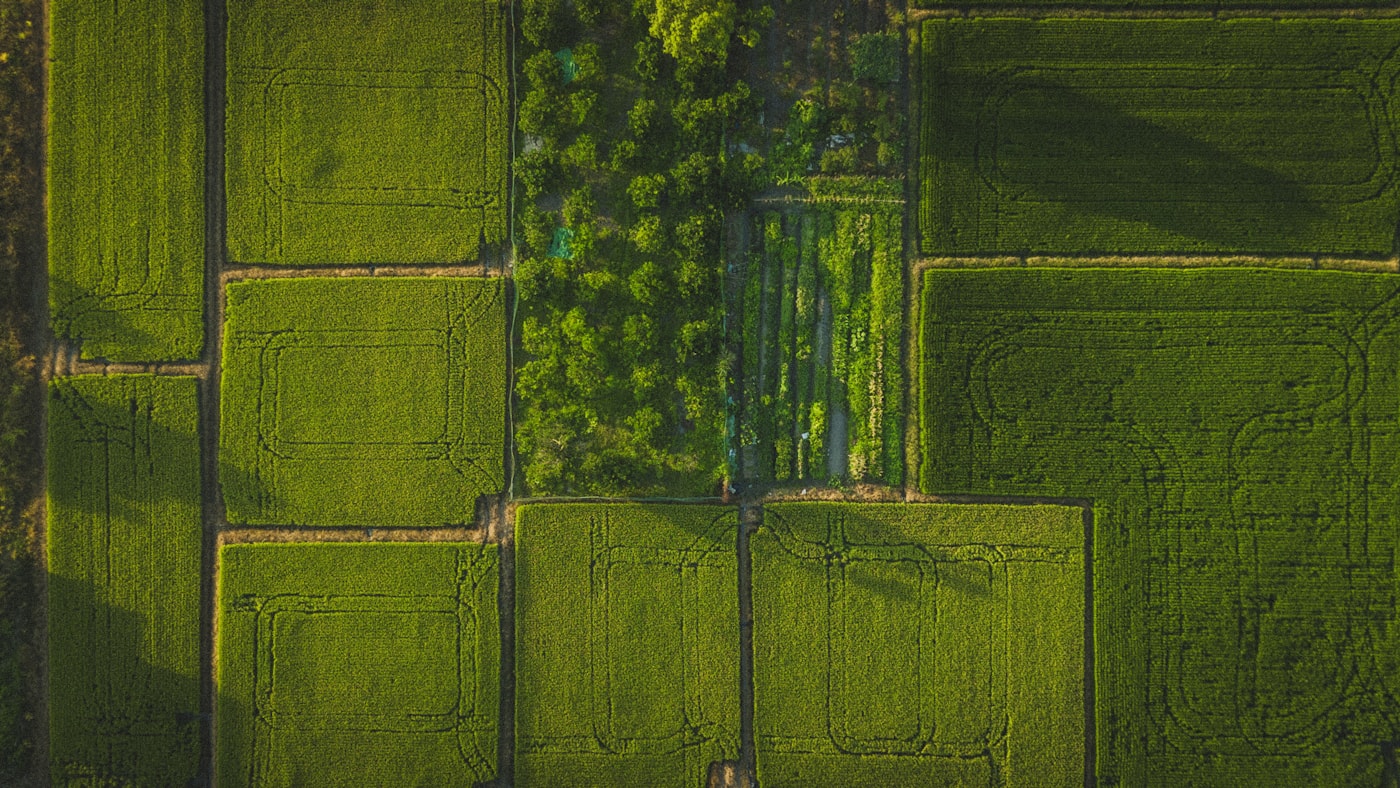 Maps & LayersPROCESSED OR IMPORTED
Today, publish georeferenced orthophotos with a fast web preview and the original GeoTIFF ready to download.
GEOTIFF · TIF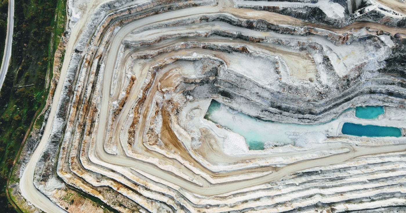 3D modelPROCESSED OR IMPORTED
Place textured 3D reconstructions on the globe, review elevation and preserve the high-quality source file.
GLB · OBJ · ZIP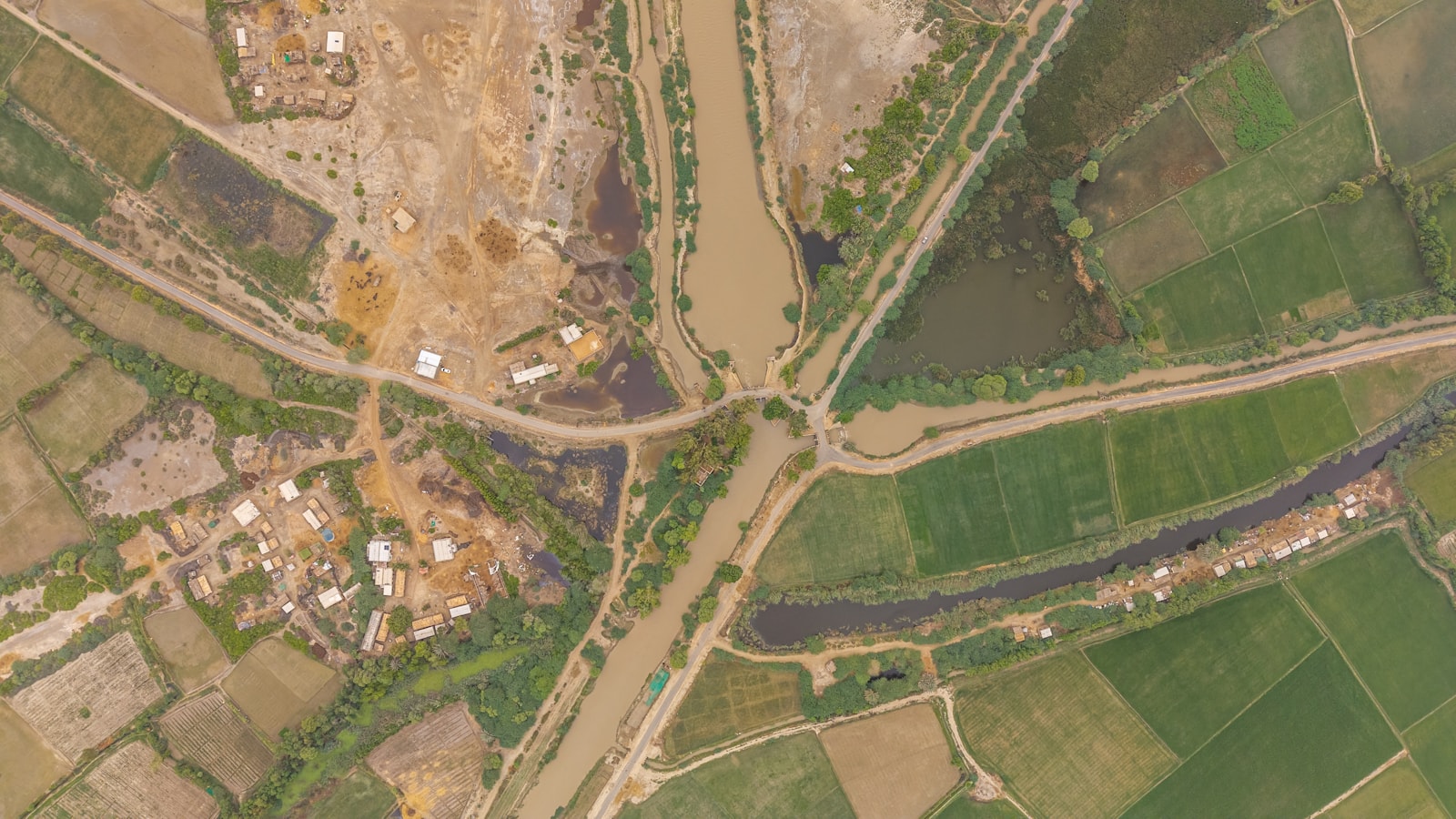 Point cloudPROCESSED OR IMPORTED
Stream an optimized tileset in the browser while keeping the original survey data available.
LAS · LAZFast previews, full-quality originals. Web viewers use optimized derivatives for smooth exploration. Downloadable source files retain the higher quality supplied or produced by the project.
Today, MosaicEarth connects publication, discovery, acquisition and multi-asset presentation in one consistent flow.
Explore public MosaicAssets in their real-world position on the global viewer.
Add a free or paid public asset to MyAssets and retain access to its downloadable source.
Work with assets you created, imported or acquired without losing their origin or creator.
Build a MyMosaic with several assets and share a focused geographic view.
Review the final position, add useful context and decide how each asset should live in the network.
Use assets in your own projects and MyMosaics. Keep them beyond the standard retention period with Premium.
Make assets discoverable and downloadable on the MosaicEarth globe, free or priced in Mosaic Credits.
Open a clean viewer for one asset or combine assets you own into a curated MyMosaic.
MosaicEarth keeps the original creator, visibility, downloadable format and applicable licence connected to each MosaicAsset.
Uploading does not transfer ownership. MosaicEarth receives only the operational permission needed to provide the service and carry out your choices.
Free and paid acquisitions record the asset, price and licence version so creators and acquiring users know which rights apply.
Private assets are not offered publicly. Publishing and sharing are separate actions, and geospatial privacy remains part of the creator's responsibility.
Create or import them, place them on the world, control their access and make them useful beyond a single project.